FREQUENTLY ASKED
QUESTIONS
FAQs, quick fixes, and info on all ZeroKey products
HOW CAN WE HELP?
Find answers to frequently asked questions below.
Quantum RTLS is a real-time location system (RTLS) that relies on advanced technology not found in other systems, such as Wi-Fi, Bluetooth, Ultra-Wideband (UWB) or RFID. Proprietary technology allows Quantum RTLS to achieve much higher accuracies than other technologies, up to 1.5mm (about 0.06 in).
At its core, Quantum RTLS relies on ultrasonic signals to measure the distance between mobile devices and anchor devices. In a general sense, those precise distance measurements are then utilized to compute a 3D position using a multilateration method, similar to how GPS works.
Ultrasound is an ideal signal to measure the distance between two points due to its slower propagation speed. Older-style RTLS systems rely on radiofrequency (RF) signals to measure this distance. However, RF signals propagate so fast (at the speed of light) that even small errors in measurement translate to large distance errors, ultimately lowering accuracy positions. Conversely, ultrasound propagates about 100,000 times more slowly, minimizing the impact of measurement errors and leading to highly accurate positioning. See this mechanism in action in our Quantum RTLS vs UWB article.
In busy industrial environments with high volumes of metallic objects, ultrasound stands out as an ideal solution. Ultrasonic signals are known to diffusely reflect off objects. In other words, the reflected signals spread out and dissipate. On the other hand, RF signals, like those used in UWB or Bluetooth, reflect in a specular fashion off metallic objects, often corrupting the line-of-sight (LOS) signal. This problem is commonly referred to as multipath and is the leading cause of RTLS failure in industrial applications.
A primary feature of Quantum RTLS over other systems is that system calibration is easy and mostly automatic. Following simple on-screen instructions, anyone can walk through the calibration process in less than 10 minutes. No tools, external measurements, or other skills are required.
Even for larger projects, such as deployment across an entire facility, the length of time required for installation is mainly the amount of time required to deploy the physical anchor hardware.
Quantum RTLS provides 3D positioning accuracy down to 1.5mm, roughly 100 times more accurate than competing UWB solutions. Checkout our white paper for technical details on how we empirically measure the accuracy of Quantum RTLS.
Yes, 1.5mm accuracy can be maintained over a large space, even across an entire facility. Careful attention to anchor placement relative to the desired mobile coverage area is required to ensure Quantum RTLS best practices are met.
A general-purpose Starter Kit-sized system can support up to 20 mobile trackers at the same time. For larger installations, more mobiles can be supported. There is no practical limit to the number of anchor devices a system can support or the size of the area that can be covered, assuming the appropriate anchor and gateway infrastructure is in place.
Mobile trackers divide the available system bandwidth equally between themselves. As more mobile trackers enter the system, they automatically adjust their positioning update rate to match their slice of the system bandwidth. Commercial systems can be configured such that different devices operate at different update rates. For example, a forklift tracker may be configured to run at 5Hz, while a pallet tracker may be configured to update at 1Hz.
It is not necessary to survey any control points. Every Quantum RTLS installation provides its own coordinate system defined by the relative geometry of the anchor devices. Once a system is installed, this coordinate system never changes and will provide repeatable absolute positions with respect to the Quantum RTLS coordinate system.
In many cases, it is desirable to align the Quantum RTLS coordinate system with that of a building floorplan, for purposes of visualization. The Spatial Intelligence Platform provides simple tools to accomplish this by utilizing a Quantum RTLS mobile tracker and by selecting points on the building plan that correspond to its current location. More advanced coordinate alignment procedures are available too, to align the coordinate system with geographic coordinates, or to a building coordinate system.
Calibration of a Quantum RTLS deployment takes approximately 10 minutes to complete using the guided wizard in the Configuration Tool (found within the Quantum RTLS SDK). Watch our how-to setup video below:
Many customers use Quantum RTLS for localization of automated guided vehicles (AGV’s) and autonomous mobile robots (AMR’s). The 1.5mm hyper-accurate 3D position data from Quantum RTLS can be used to refine the navigation accuracy of these devices and provide fallback positioning data when SLAM-positioning is unavailable. The ZeroKey Open API makes it easy to integrate Quantum RTLS into any navigation stack.
Quantum RTLS deployments are generally not impacted by most types of interference. Advanced signal processing techniques, similar to those used by cell phones, encode the positioning signals such that natural sources of interference, even at the same frequency, generally do not degrade positioning availability. In some cases, it may be necessary to avoid installing a system in areas where equipment or tools emit very high amounts of ultrasonic noise, in and around the 50KHz frequency. Equipment of this nature is rare and usually relates to specialized equipment.
The mobile trackers communicate wirelessly in the 2.4 GHz ISM band, similar to Wi-Fi and Bluetooth. During the setup phase of any system, highly crowded channels in this spectrum should be avoided. The setup procedure will automatically scan all available channels and select the best channel available.
For a mobile tracker to determine its position, its emitter surface must be within the field-of-view, line-of-sight, and maximum range of at least 4 anchor devices. When more anchors are within the field, the position is generally more reliable, and position confidence is higher.
There is no maximum limit to the coverage area, provided the space is covered with an appropriate number of anchor and gateway devices.
For visualization, the dashboard supports the following image file formats: .gif, .jpeg, .jpg, .png
If you have a PDF or CAD drawing of the floor plan, please convert this to an image file first before uploading.
The Spatial Intelligence Platform was designed to allow third-party integration. All features of the platform are exposed in the ZeroKey Open API, whether you simply want a stream of raw position data, or to access higher level analytics functions.
The MQTT protocol is supported through the ZeroKey Open API and Spatial Intelligence Platform. Users can configure precisely which data is published to which MQTT topics.
It is possible to run Quantum RTLS without internet connectivity, however, some functions of the system will not be available, including:
- Automatic updates
- Automatic license renewal
- Cloud-based dashboard (though the local dashboard will be accessible from the Edge Compute Device)
- Remote support services
The above features can be temporarily accessed if the Edge Compute Device is reconnected to the internet.
Mobile trackers that have inertial measurement units (IMU’s) are able to determine their absolute orientation and will provide orientation data output as part of the positioning data. This includes the following device models:
- QTM-UMR10 (Universal Mobile)
- QTM-DWR10 (Wristband)
- QTM-HMC10 (Intrinsically Safe Mobile)
The ZeroKey ECD supports a variety of API calls for a customer to get the data they need from the ZeroKey system. For a full list of API calls see api.zerokey.com
Yes, all modules come included by default in the ZeroKey Starter Kit, API, Dashboard, MQTT, Zone Module, Manufacturing Module.
The ECD runs a custom Linux distribution.
The ECD is configured to run headless, and a screen may be connected via HDMI to confirm the ECD’s IP address.
The SignalR Event Hub runs on the ECD.
All API calls can be made over a network connection to the ECD.
Yes, once a system has been configured, text commands can be sent directly to the Gateway and receive system responses using a USB serial connection and the ZeroKey Config Tool or a serial terminal such as Tera Term.
Using the ZeroKey API a client can write a custom script to write position and zone information to any database of their choosing.
Book a Sales Call
Book a Sales Call
We’re excited to see how we can help your business grow. Please fill out the form, and our team will reach out promptly.
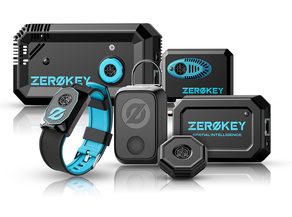
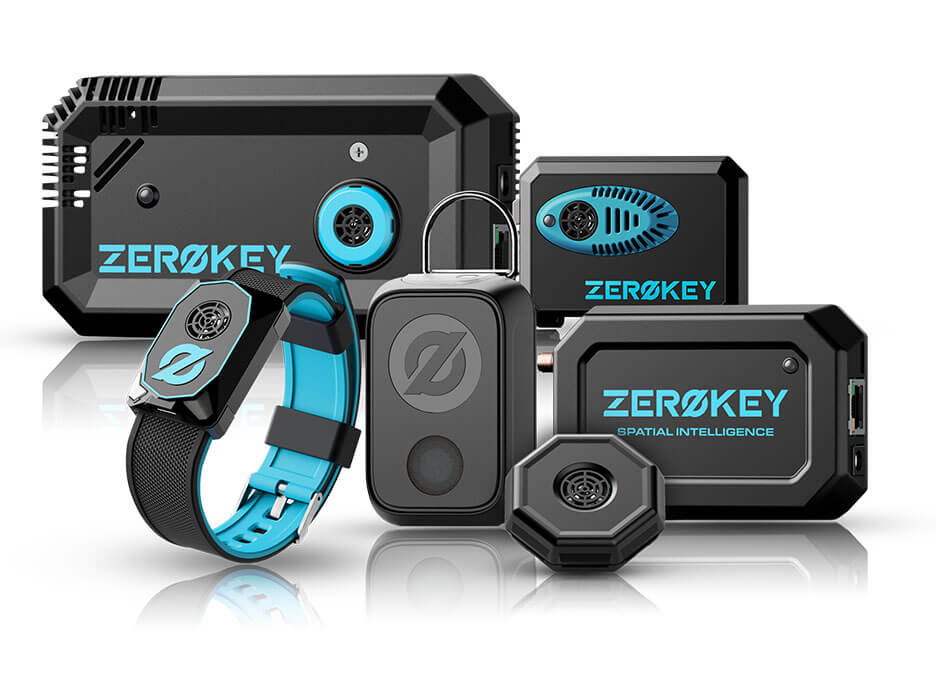
QUANTUM RTLS
TECHNOLOGY
Quantum RTLS provides 3D millimeter-level position accuracy to track the movement and interaction of everything in your workflow in real-time.
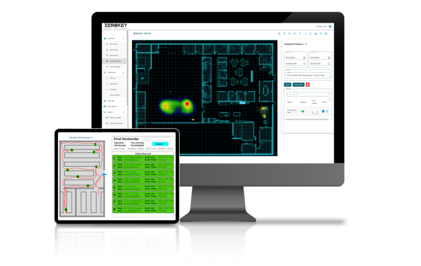
SPATIAL INTELLIGENCE PLATFORM
ZeroKey’s Spatial Intelligence Platform is a highly configurable software platform that provides easy access to and analysis of spatial data.
Want More Info?
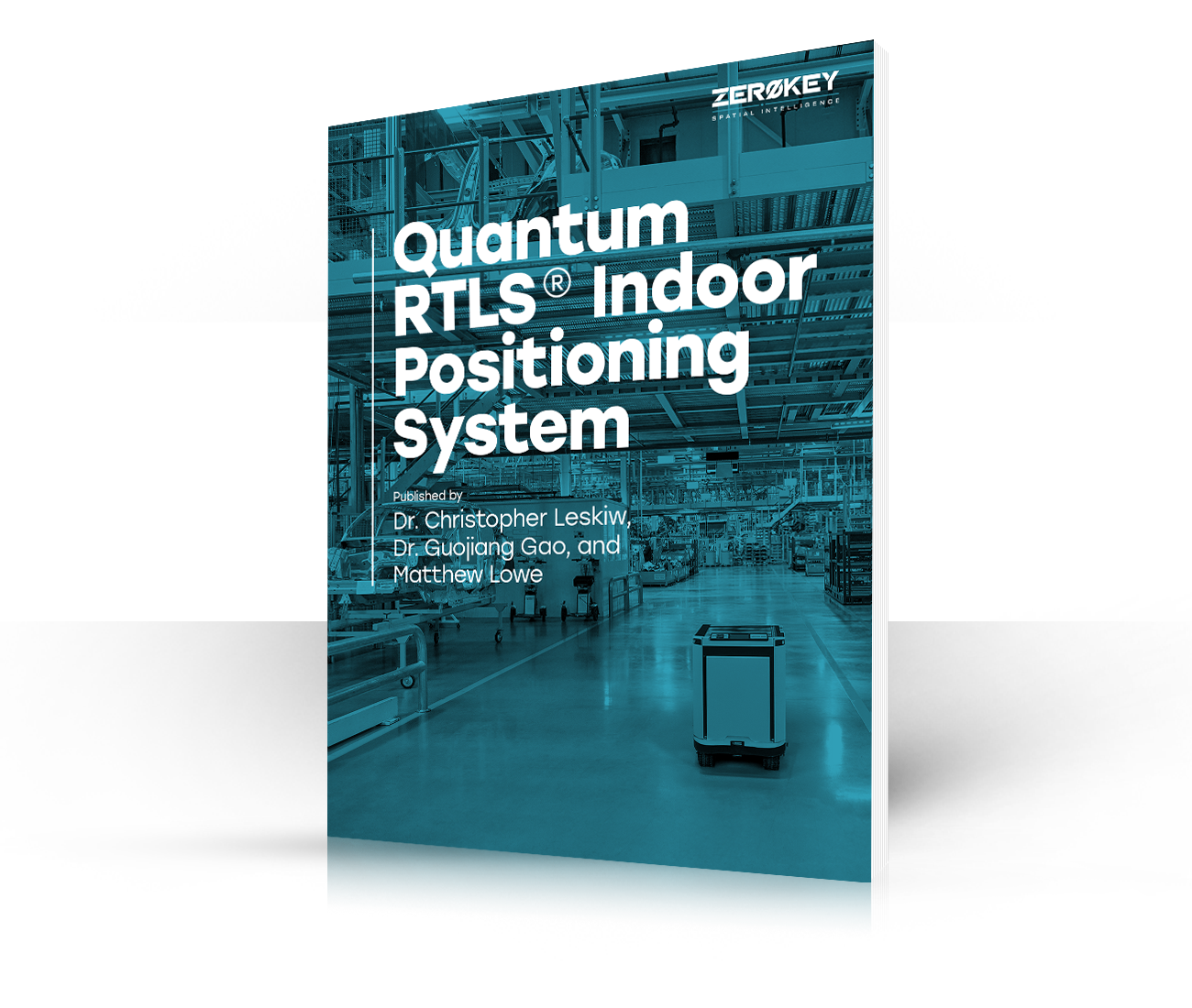
Download Our White Paper
ZeroKey’s Quantum RTLS technology is backed by more than thirty patents and extensive research and development! Want to learn why we’re the most accurate RTLS technology in the market? Read all about it in our white paper.
Want More Info?
Download Our White Paper
ZeroKey’s Quantum RTLS technology is backed by more than thirty patents and extensive research and development! Want to learn why we’re the most accurate RTLS technology in the market? Read all about it in our white paper.
CALGARY
HEAD OFFICE
3120 – 12 St. NE
Calgary, Alberta T2E 8T3
RESOURCES
SITE MAP
Products
Starter Kit
Start Kit Resources
Quantum RTLS
Spatial Intelligence Platform
Solutions
AGV Guidance & Navigation
Bolt Sequencing
Collision Avoidance
Humanoid Robots
Material Tracking
Operational Visibility
Smart Manufacturing
Time & Motion Study
Warehouse Intelligence
Worker Safety Solutions
Workflow Tracking
About
Our Company
Our Team
Careers
News
CALGARY
HEAD OFFICE
3120 – 12 St. NE
Calgary, Alberta T2E 8T3