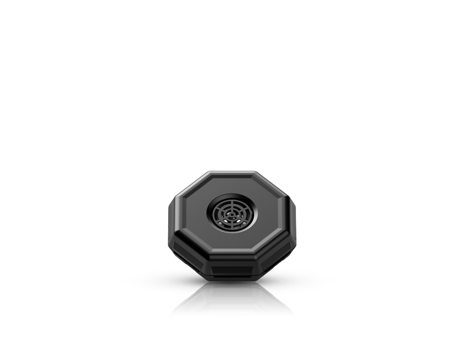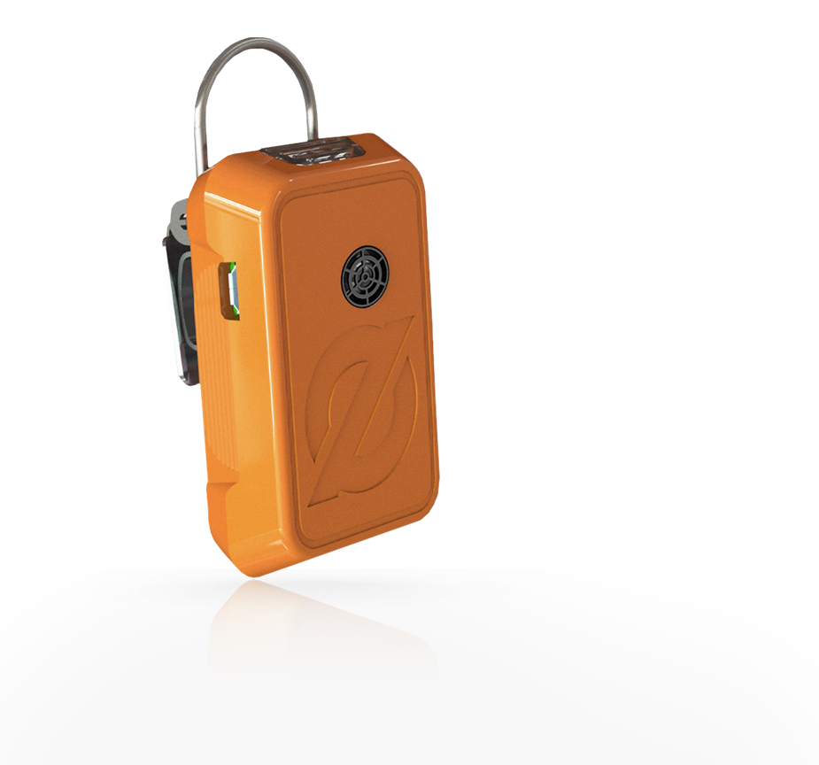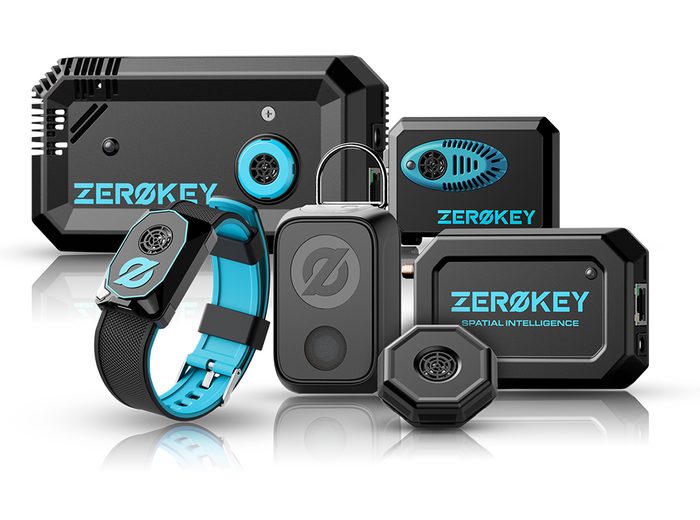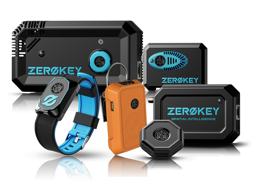
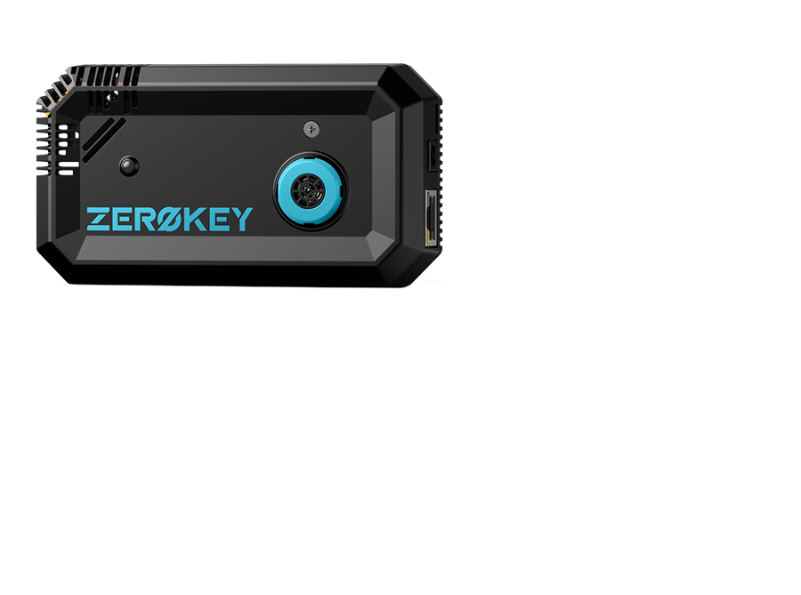
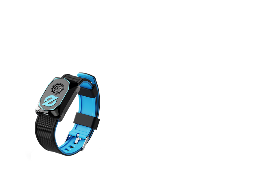
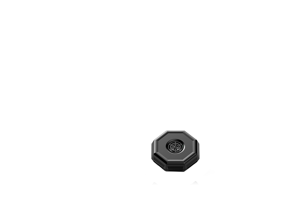
Select a node
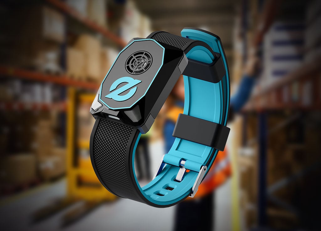
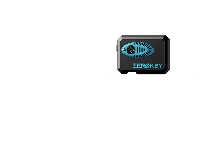
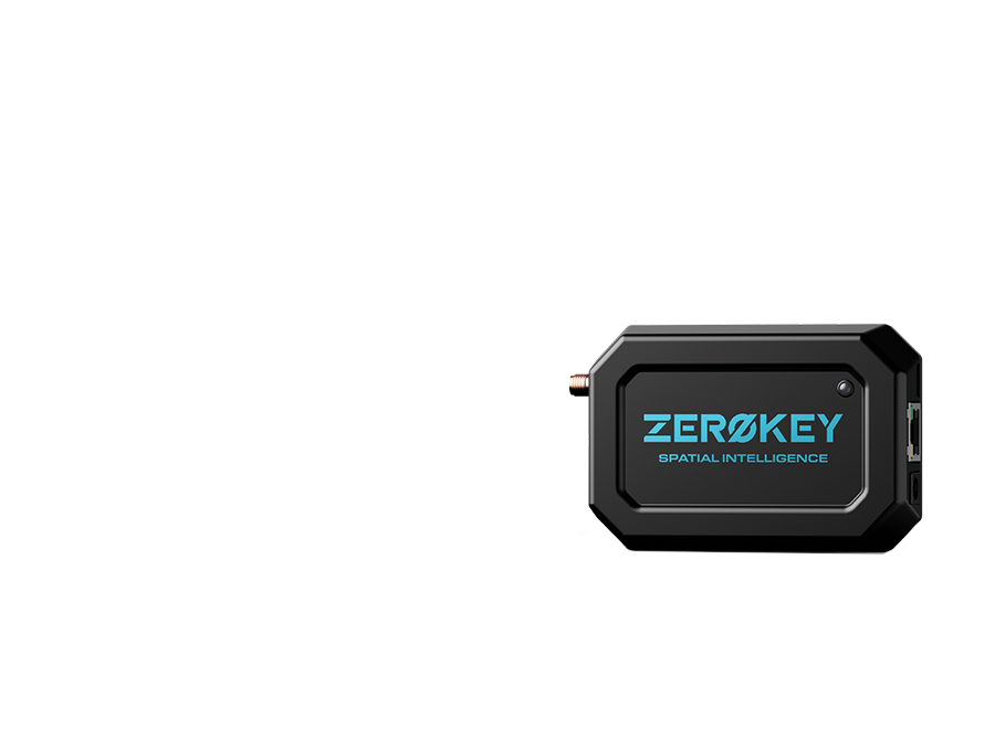
Hover over any ZeroKey device to learn more about it.
Select a node
Product information will cycle automatically.
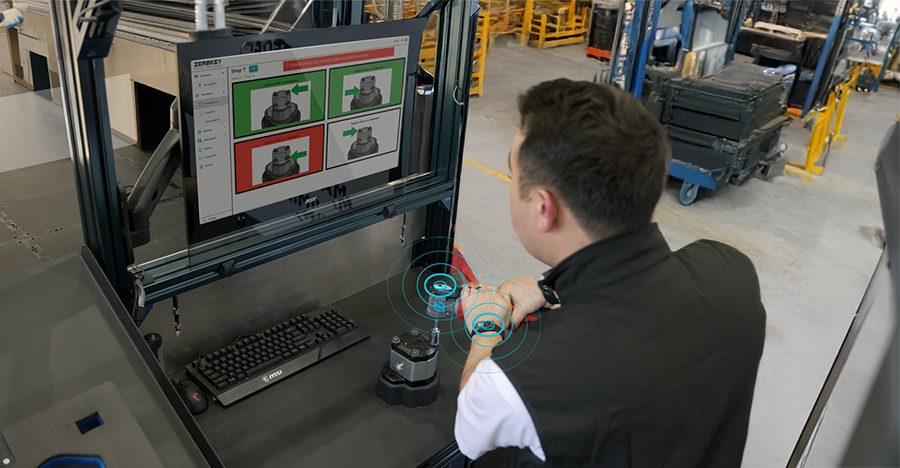
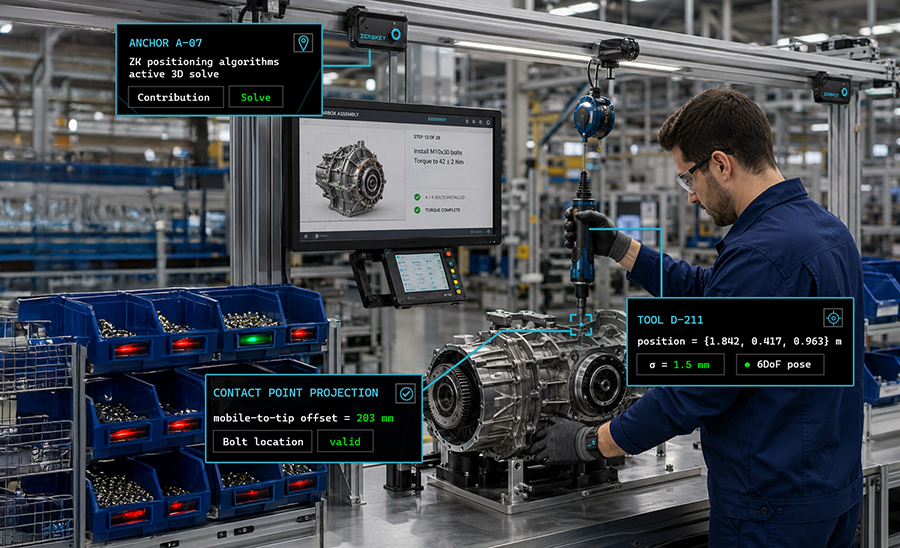
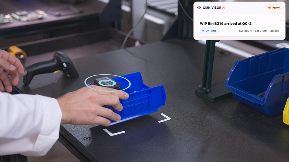
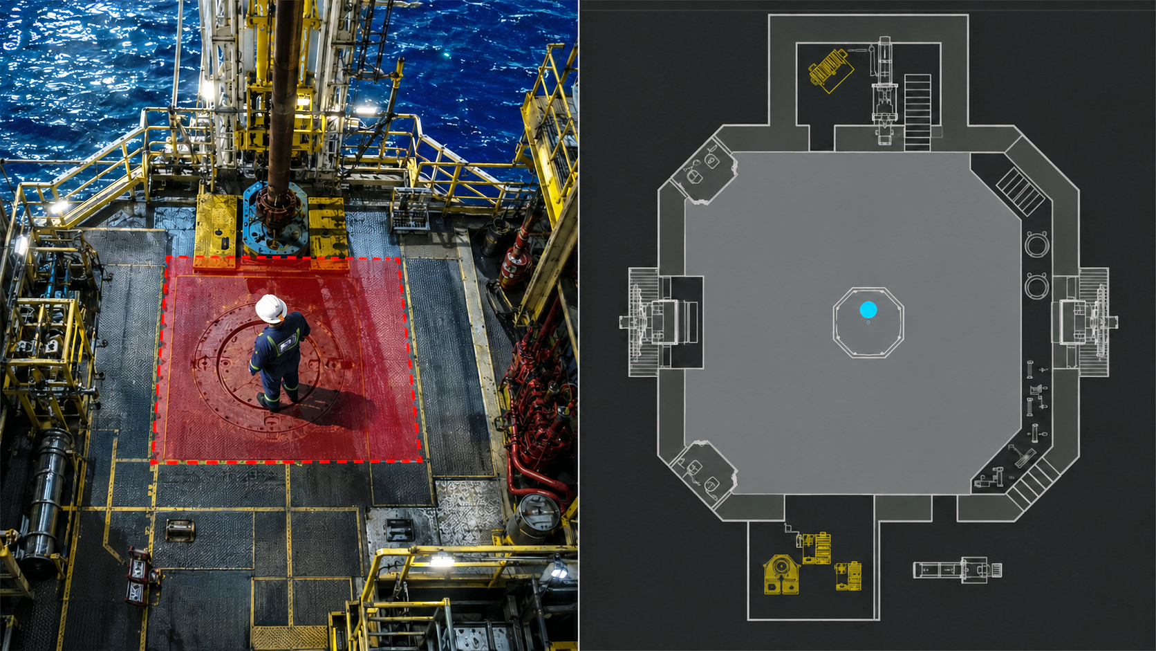
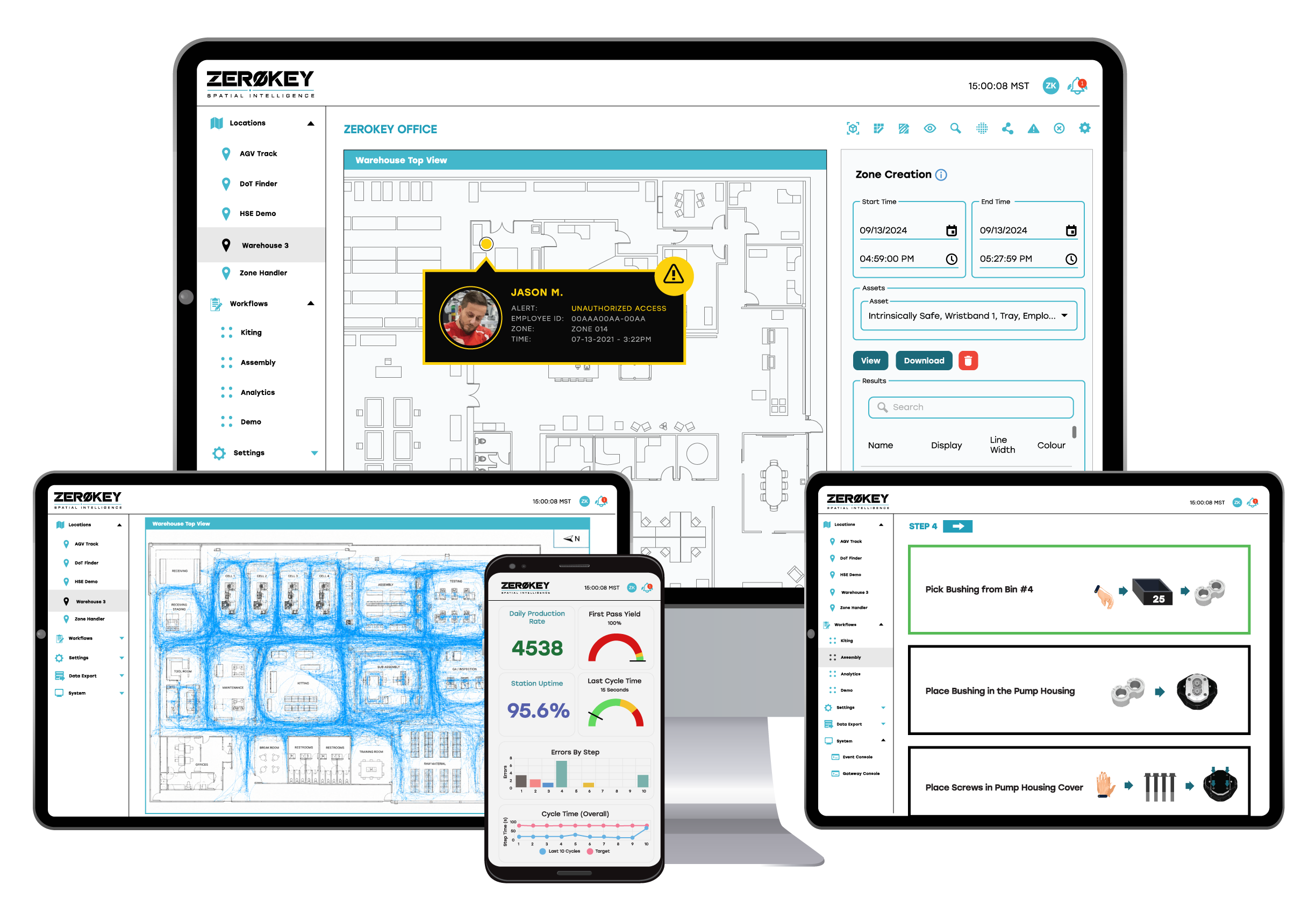
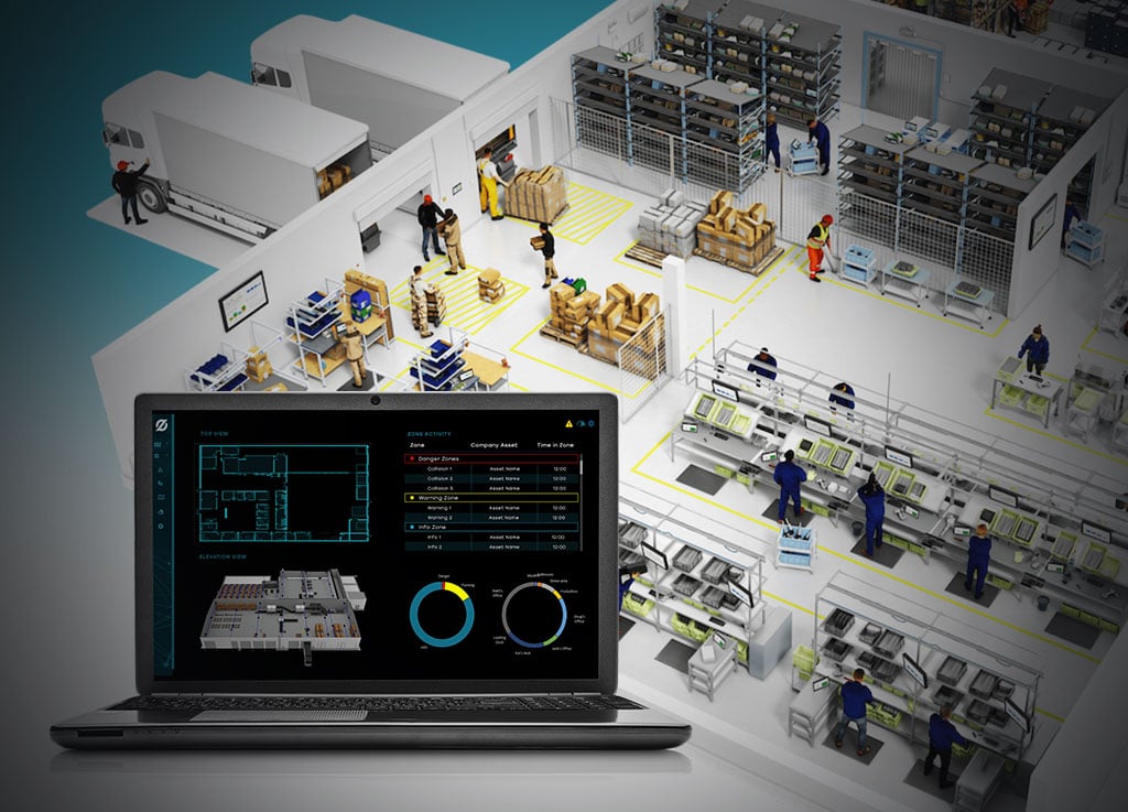
Track process execution, movement history, handoffs, and interactions in real time with 1.5 mm accuracy
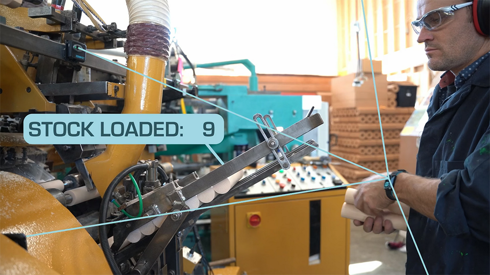
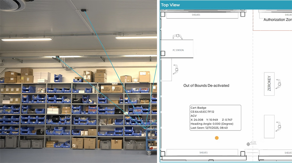
Digitize operators, tools, parts, trays, AGVs/AMRs, and assets
Generate the spatial data foundation for live factory intelligence and physical AI
Map movement to stations, zones, workflow steps, and process events
Understand who or what interacted with each tool, asset, or workstation
Capture cycle times, dwell times, handoffs, bottlenecks, and deviations in real time
Advance work instructions based on verified physical actions and workflow completion
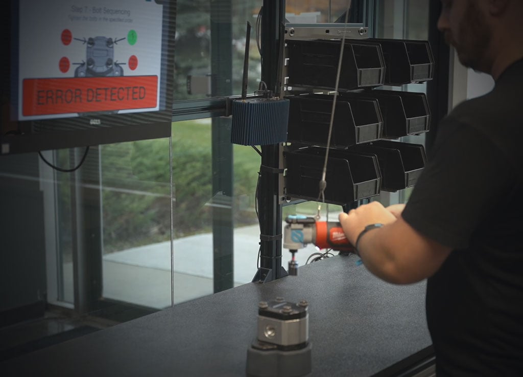
Trigger alerts, Andon responses, interlocks, and exception workflows automatically
Coordinate robot, operator, and material handoffs using live location data
Enable real-time process validation, safety monitoring, and workflow orchestration
Analyze movement history, cycle times, process variation, and operational inefficiencies
Identify bottlenecks, quality risks, and workflow deviations automatically
Automate scheduled task monitoring and reporting
Enable AI-driven recommendations and insights derived from real physical workflow data